New DJI drone rescue map tracks drone-assisted rescues worldwide
DJI, the world’s leader in civilian drones and aerial imaging technology, today launched an online reference to track events around the world when a drone helped rescue someone from peril. The Drone Rescue Map, available online at https://enterprise.dji.com/drone-rescue-map, shows how more than 400 people around the world have been helped by drones in more than 200 emergencies, and will be continually updated as new rescues occur.
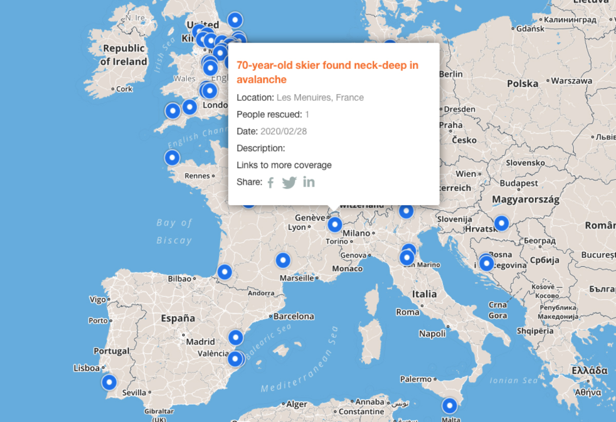
The DJI Drone Rescue Map has been compiled from news stories and social media posts from authoritative sources such as police departments, fire departments and volunteer rescue squads. Each entry on the map includes the location and date of the incident, a brief description, a link to the original story or post, and an easy way to share those incidents online. To make the map as definitive as possible, DJI encourages public safety agencies to share additional drone rescues so they can be included.
Read more